RIDGE
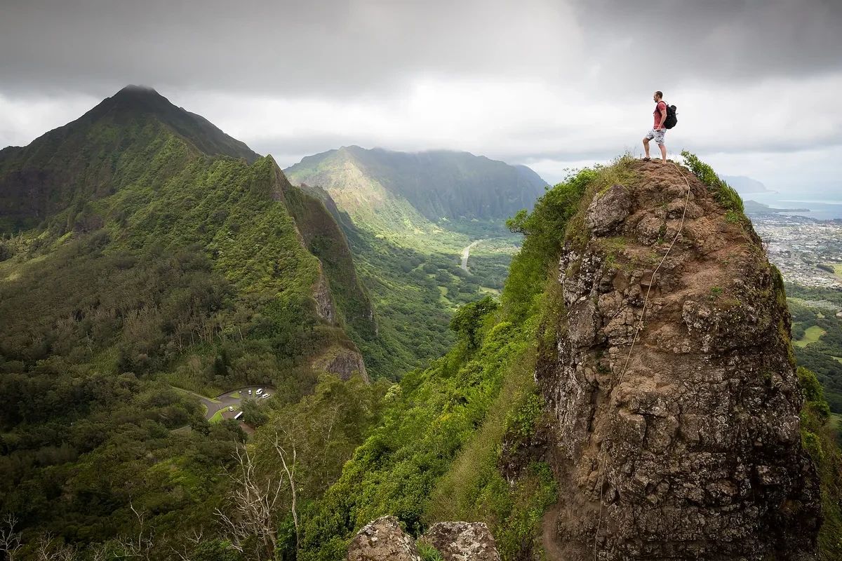
Get the view you hiked for.
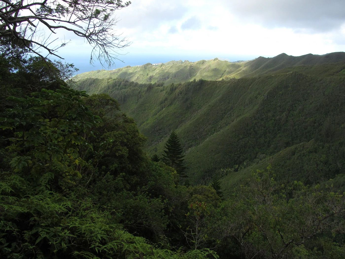
Live trail rankings, based on today's weather
Don't hike 3 hours into a foggy, cloud covered ridge. Leverage the weather, and get the view you came for.
Find the very best hiking trails
ranked by real-time live weather conditions, without spending hours searching
Founding cohort limited to 250 spots. The best locations without crowds are what make them special.
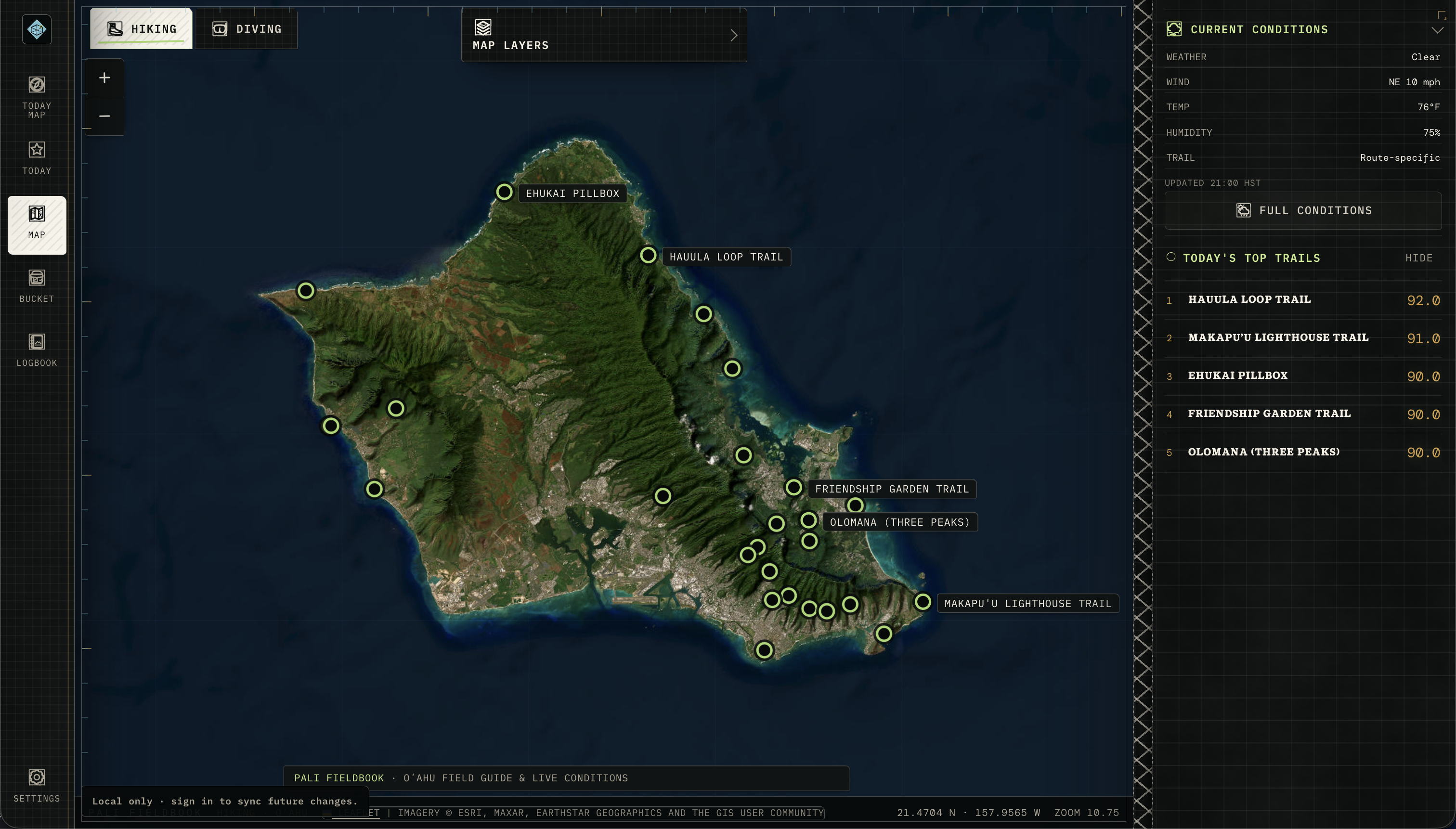
Find the best locations, live, in minutes. Search island wide, or find the best near you.
End your day with your favorite adventure photos, or get rained-out with nothing to show for it. The secret is simply knowing where (and when) to go.
RIDGE
Live trail rankings, based on today's weather
Don't hike 3 hours into a foggy, cloud covered ridge. Leverage the weather, and get the view you came for.
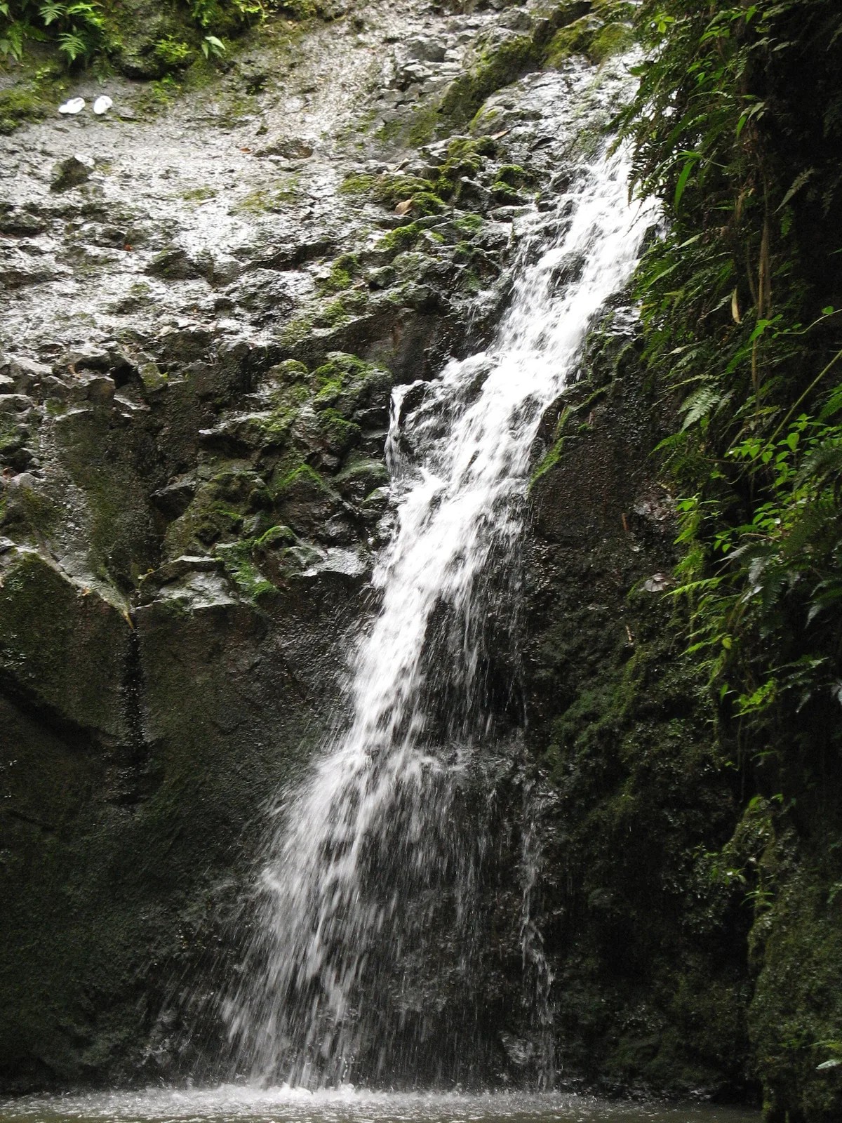
FALLS
Waterfall scores
A waterfall hike is only worth the hike if the falls are actually flowing. Find the ones that are.

REEF
Visibility rankings
Find the dive spots with the best visibility for your dive, in real time.
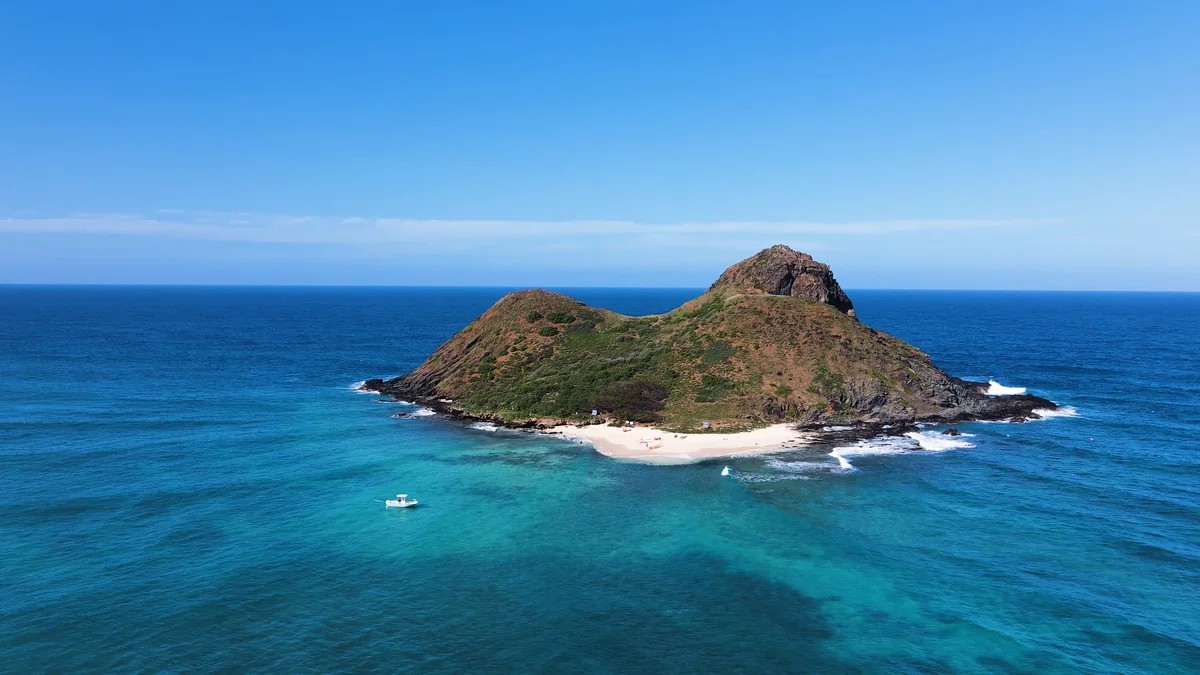
BEACH
Live beach weather
Don't drive home early with a rainy beach towel. Find the beaches with the best sun, for your day, today.
Wet shoes and a photo of a cloud where the view was.
Imagine: You spend an hour sorting through trails. You pick a great trail, but on the wrong day. You come home early, caked with mud, and without the photos you drove out for.
A story and the shots you show people for the rest of the year.
Now imagine: You get a ranked list, made just for you, built for this morning. You find the right place just for today, and bring home the photos and memories that came with the adventure.
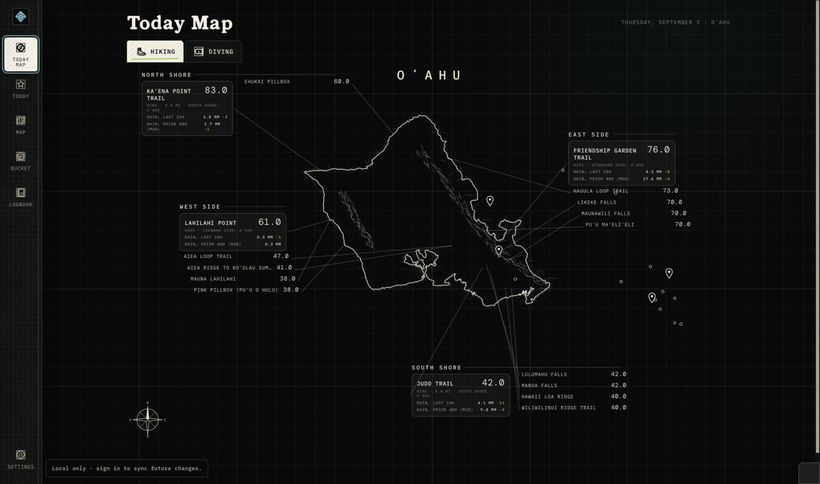
How you use it:
Choose your adventure:
Filter between:
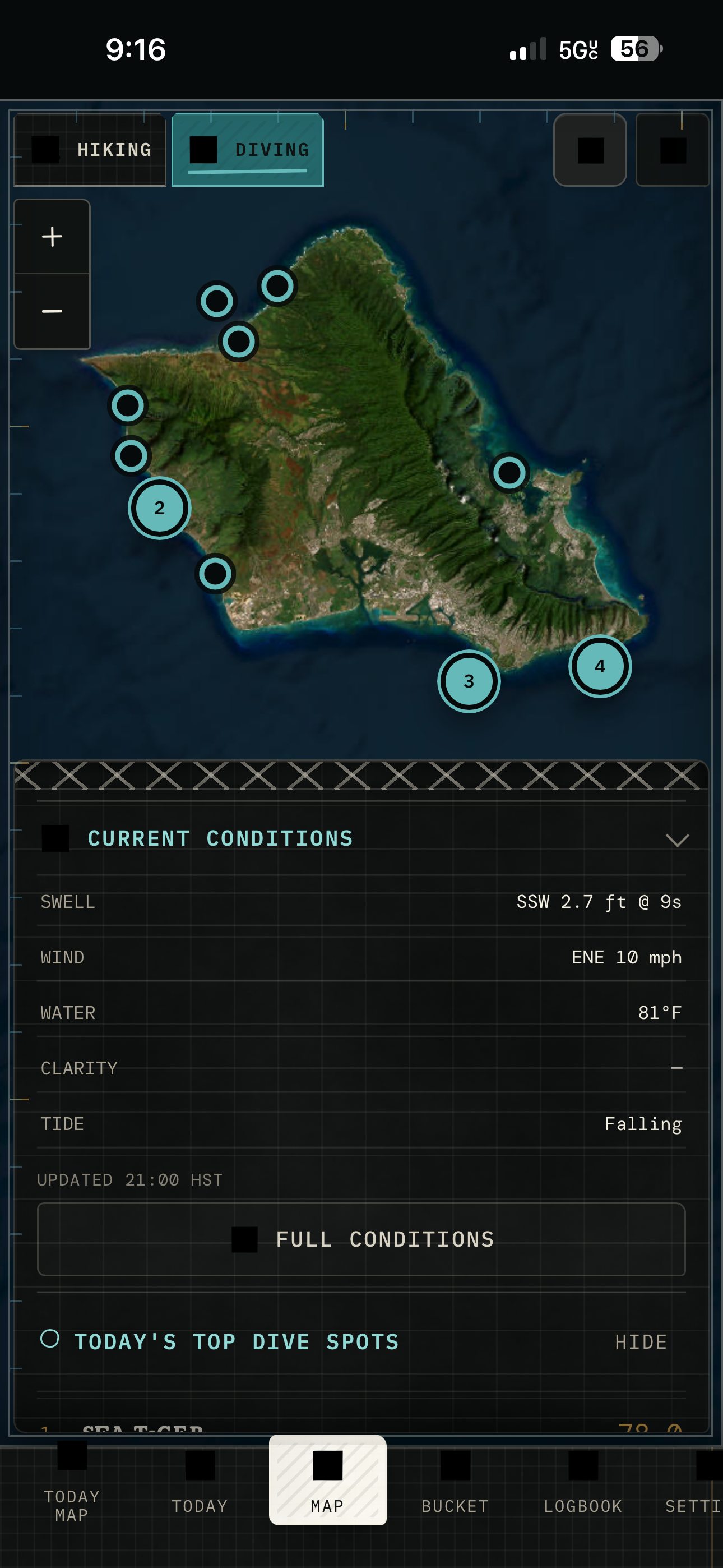
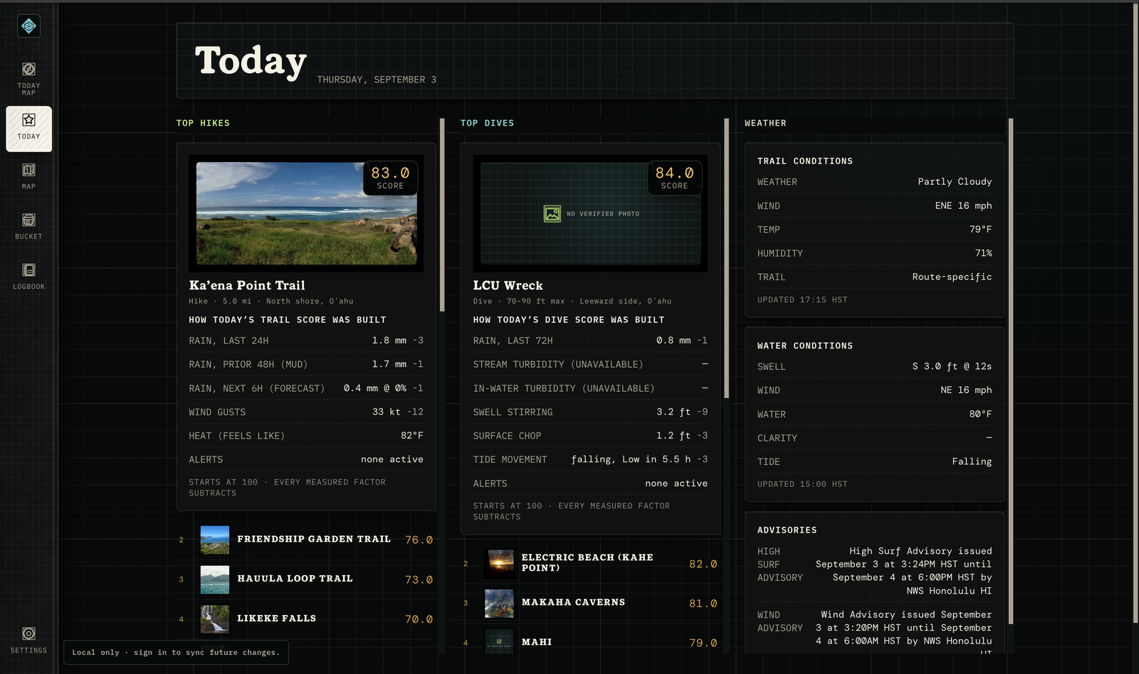
Get a ranked list, built live, just for you.
Try it yourself. Your next outdoor day is the test: open the list, take the top of it, and see.
Three ways to explore. Scores and rankings for each.
Illustrative score examples — not current readings.
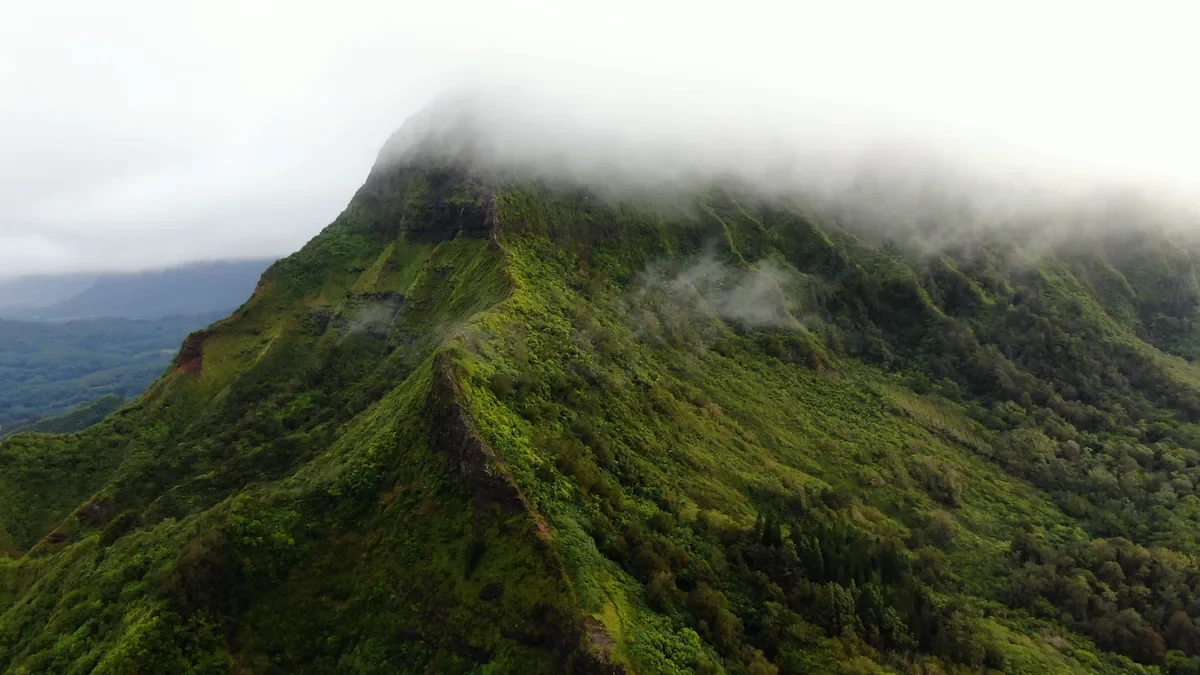
Trail Score
Summit view: likely clear by 8 am.
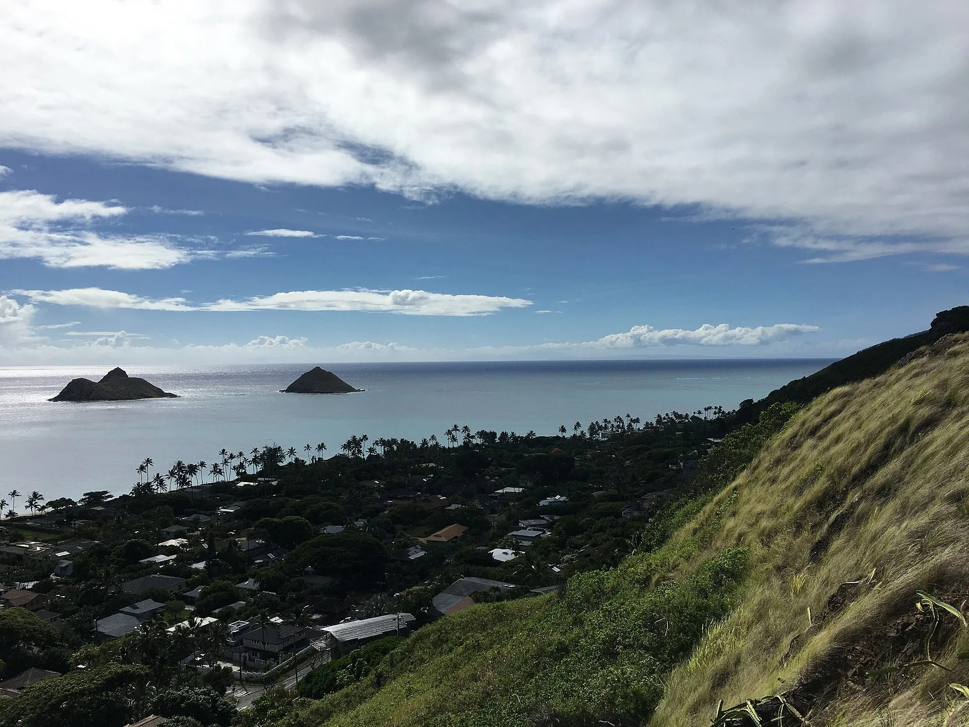
Beach Score
Best window: 8 am to noon.
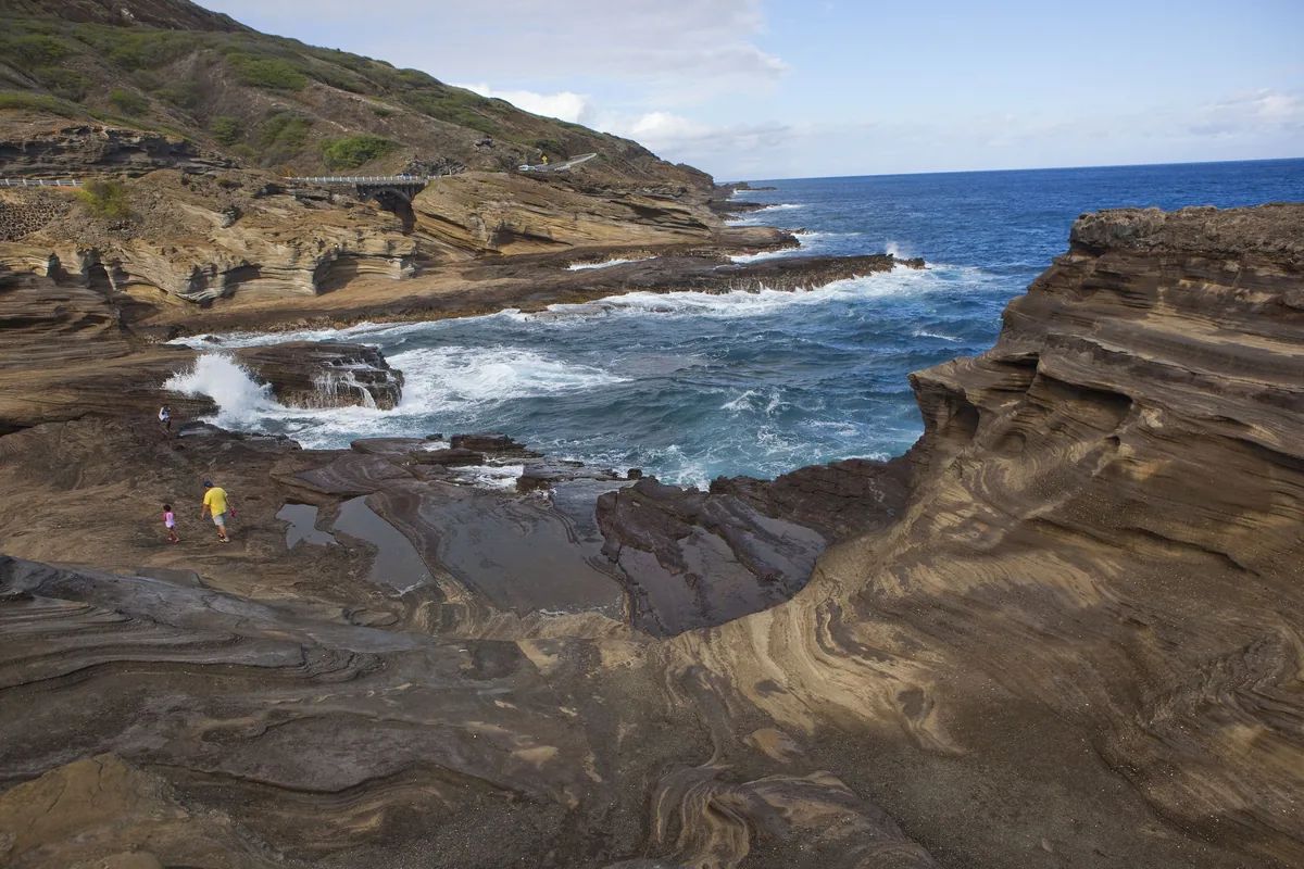
Dive Score
Surface visibility: about 40 ft.
Where the numbers come from.
Honest footnote: NWS, NDBC and CO-OPS all sit inside NOAA. Three names, one agency, listed separately because they measure different things.
Recommendations in minutes, specifically for your activity.
Activity specific score models.
A tide that matters to a diver means nothing on a summit. The rain that fills a waterfall turns the reef brown two days later. Hikers, divers and beachgoers all look at the same weather and want different answers. This tool solves that problem.
I'm Dan. I live on Oʻahu. I hike, I dive, I spear, and some days I just want to sit on a beach that is not being rained on, and for years the check before all four of those was the same mess of tabs: a buoy page, two forecasts, a tide table, a friend who had been up the ridge on Tuesday.
So I wrote the check down. Then I found out that the check for a dive is not the check for a hike, and neither is the check for a beach, and that is how one score turned into four. The place files come from my own field records and the public sources above. The model is printed in full because I would not trust a number I could not read either, and every deduction shows where it came from, which is the rule I wish the tabs had followed.
It is one person's tool, built for one island, and I keep it that way on purpose.
Dan
Creator of Pali Fieldbook · Built in Hawaii
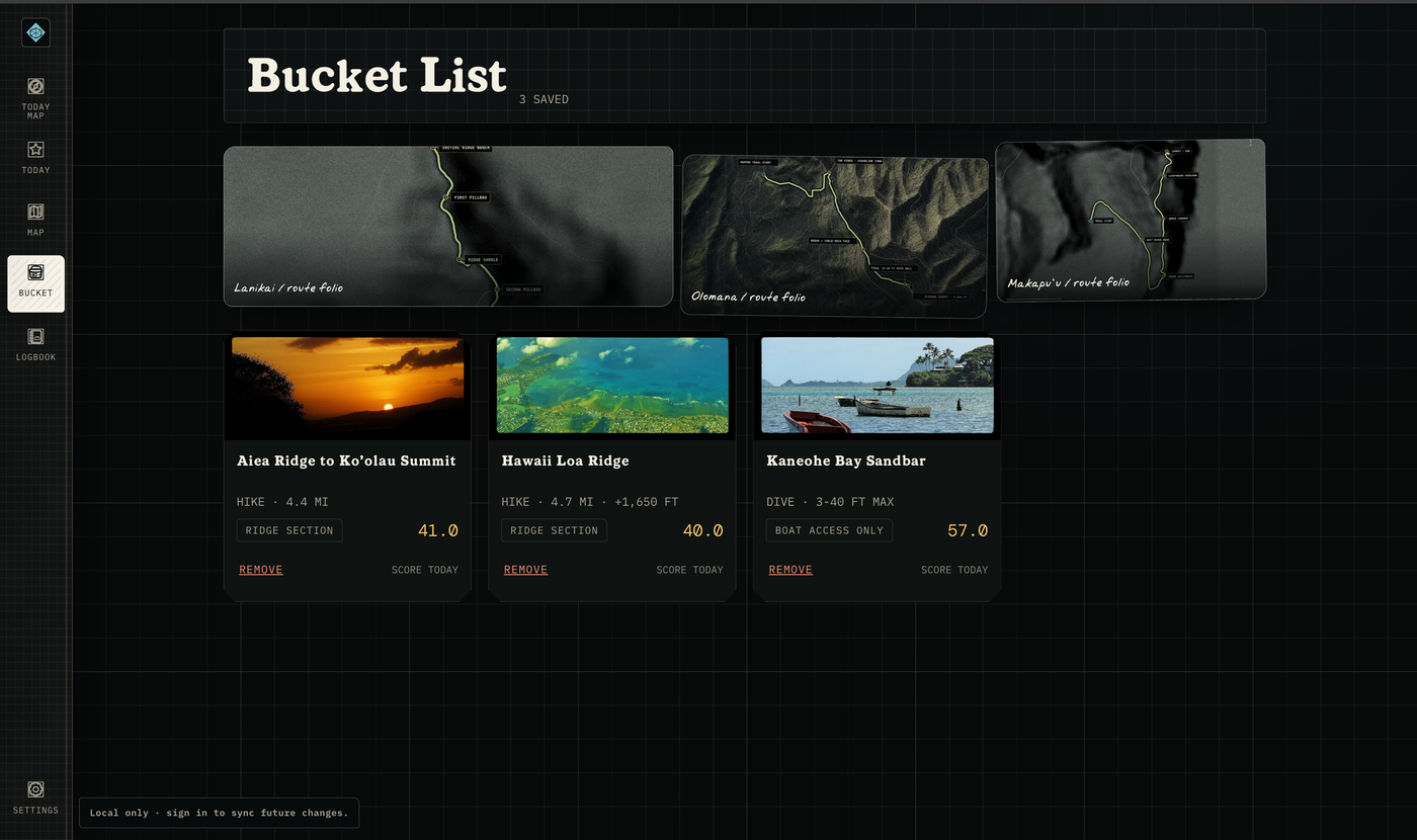
Bucket List
Bookmarks do not expire. Conditions do. Save the places you want to go, and make it happen when conditions are perfect.
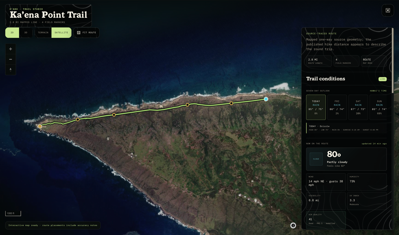
Trail Studio
See a route in 2D and 3D before you go.
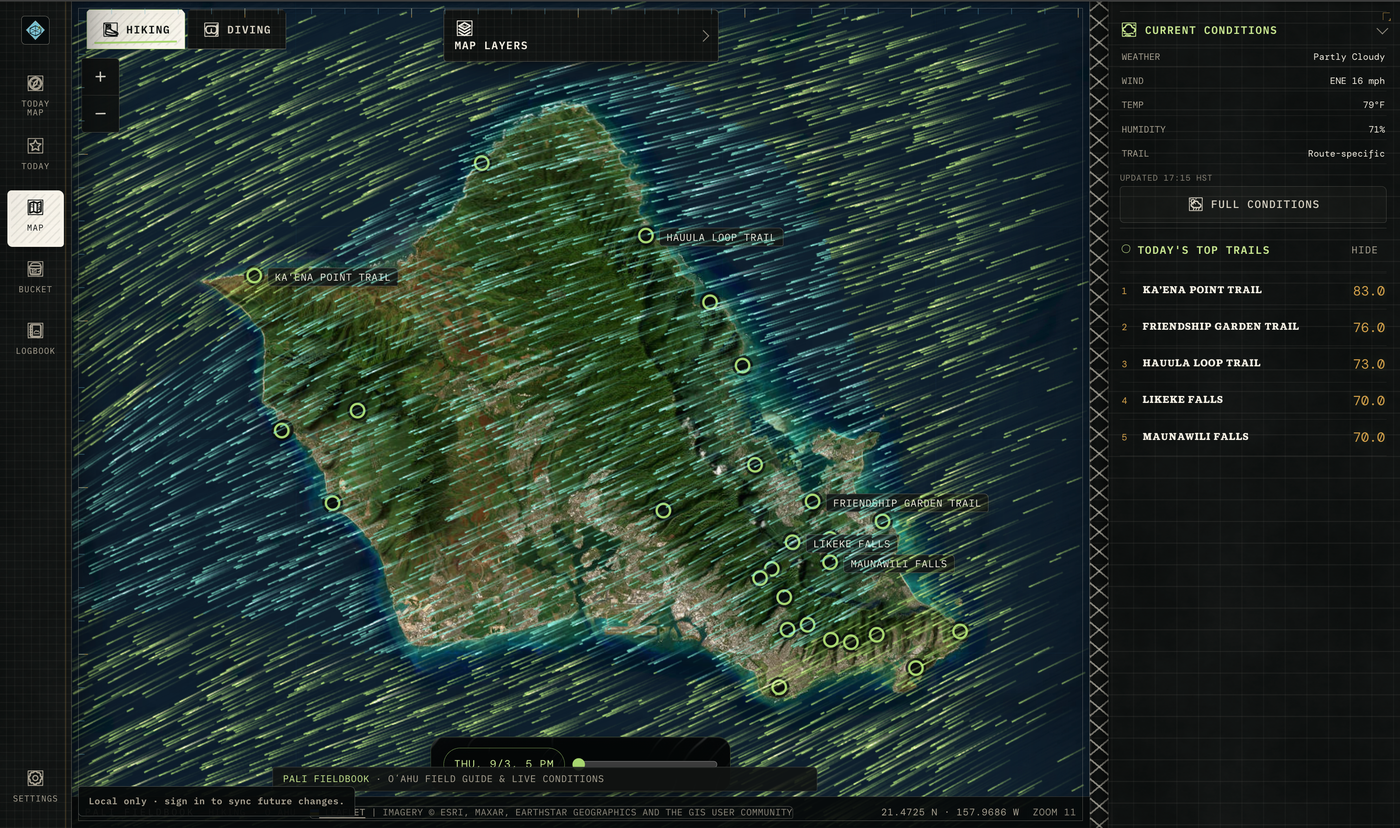
Map layers
See the wind, rain, and waves across the whole island, in real time.
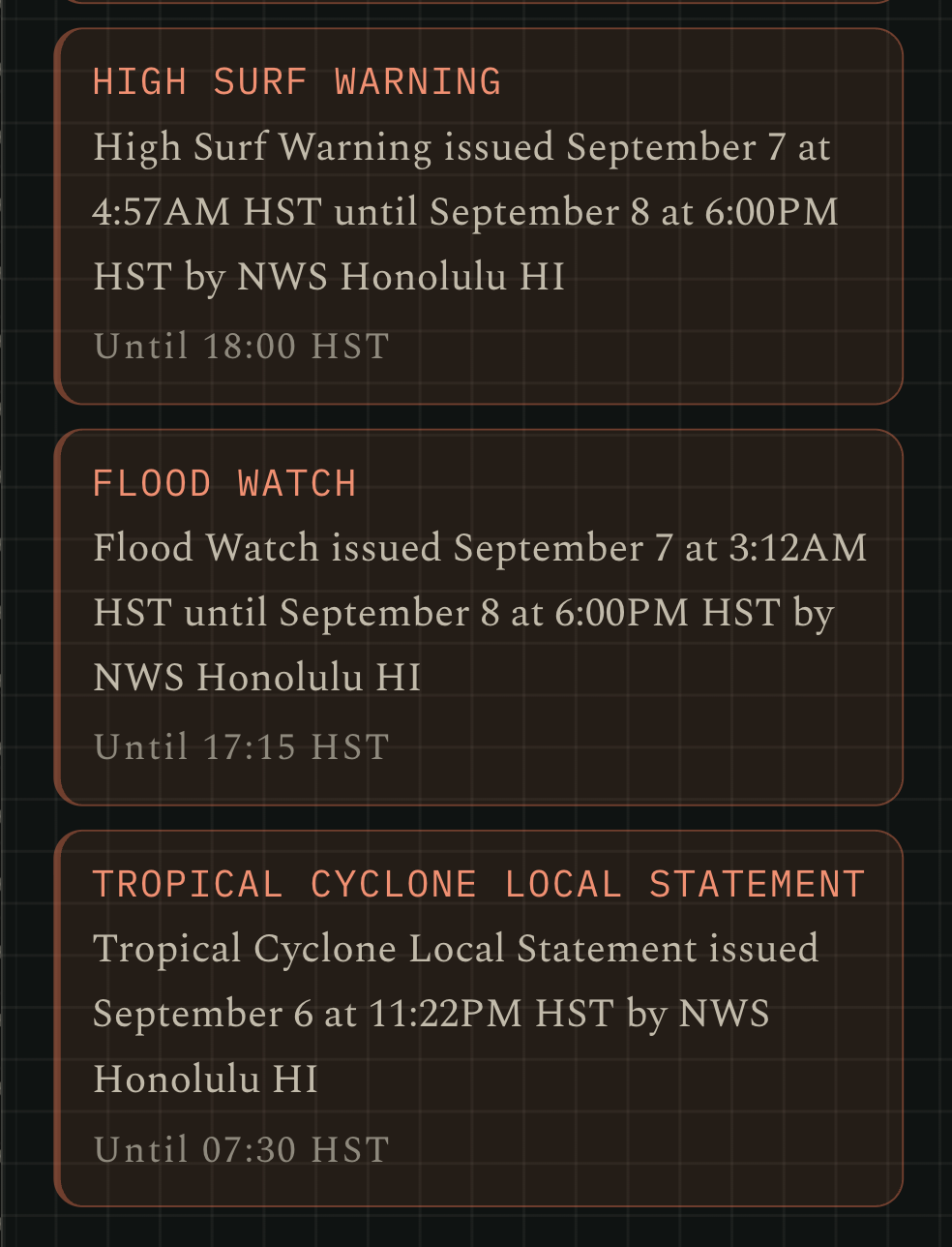
Weather Advisories
Active NWS advisories show wherever they apply, web and phone, and integrate into location scores.
Beaches · In progress
In progress: a dedicated Beach Score will compare sun hours, wind, surf, tide and advisories. Beach rankings are not available in the current preview.
Falls Score · In progress
In progress: a dedicated Falls Score will distinguish waterfall conditions from ridge conditions. Current waterfall hikes use the existing trail model.
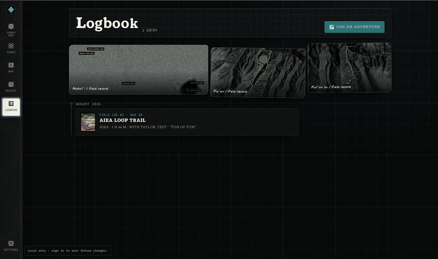
Logbook
Log your adventures and save your memories, with the conditions of the day saved beside them.
Watch on YouTube
The best videos of each place, gathered in one spot, so you can see it in action before you go.
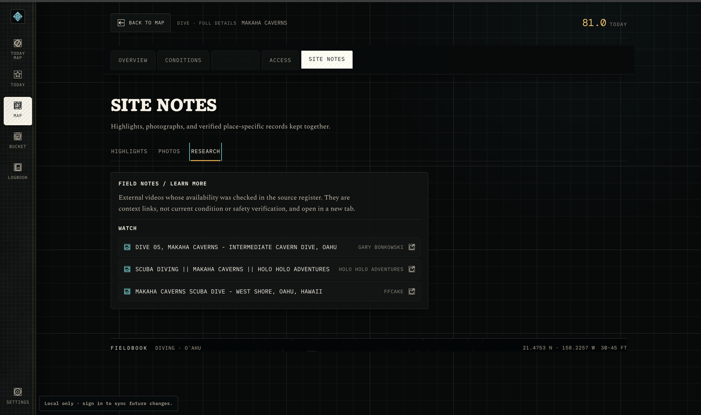
Field Notes
Field Notes, from those who have trekked it in the past. Articles, notes, and links to learn all about a place, its history, and what makes each unique.
Membership sales will open after the product and fulfillment checks are complete.
250
The planned founding release is limited to 250 active places shared by memberships and passes. A place opens when a membership ends or a pass expires.
This limit is intended to reduce concentration at the same locations. It does not guarantee that a trail or beach will be empty.
Every day this app points at the very best places on the island. Special places without crowds are what make them special. Two cars at a trailhead instead of two hundred is the difference between the photo you love and the photo with forty strangers in it. This cap is what makes the Pali Fieldbook special, and that's what you're paying for. That's the whole release.
These are examples of places that lost their magic due to overcrowding. The ones that haven't yet are on here. That is the point.
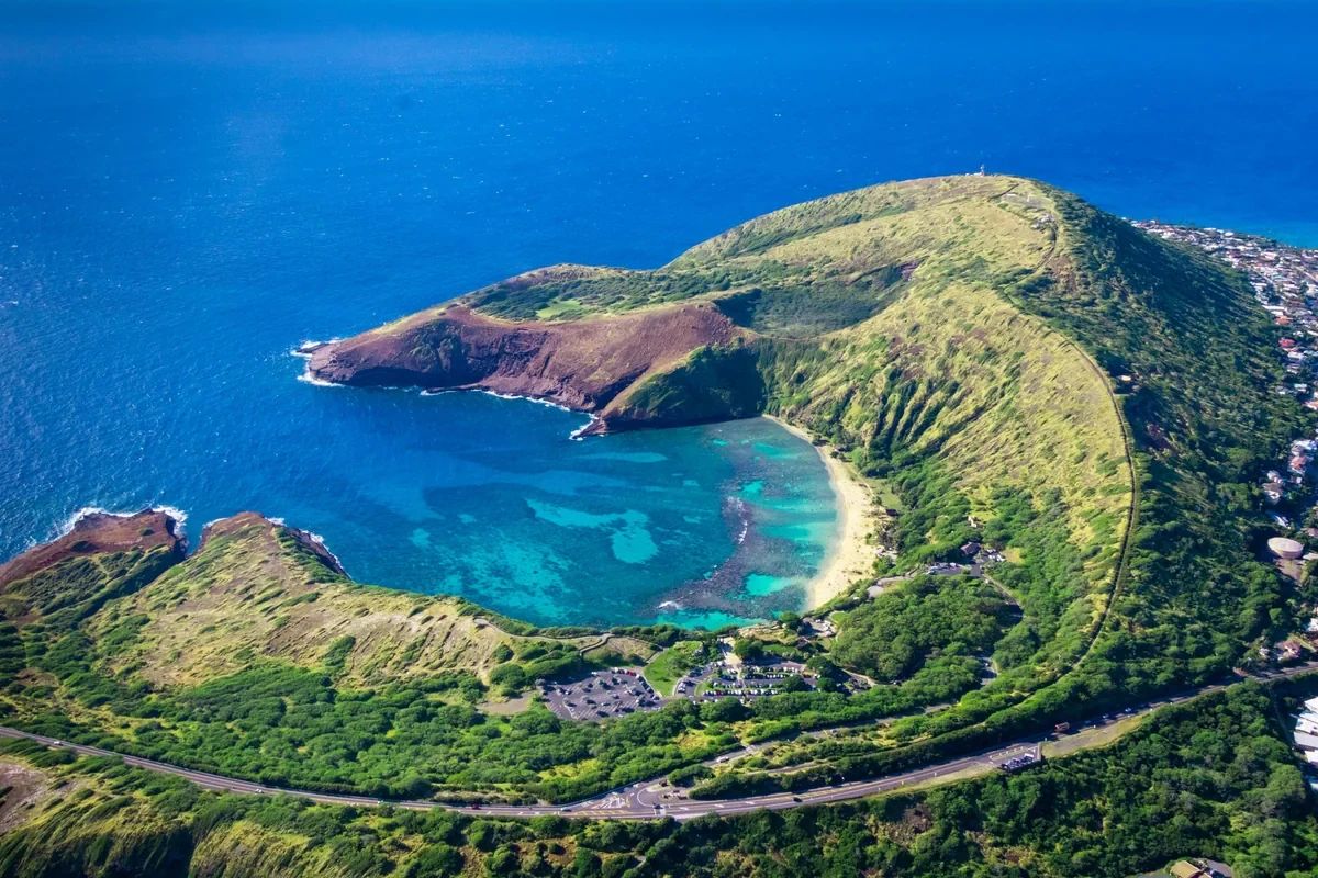 2021 to 2023
Oʻahu
The city’s carrying capacity report documents a daily visitor limit of 1,400 following reopening, with advance reservations shaping access.
5Oʻahu
Official notices closed access during deconstruction. Litigation continues. A photograph is not permission to enter.
6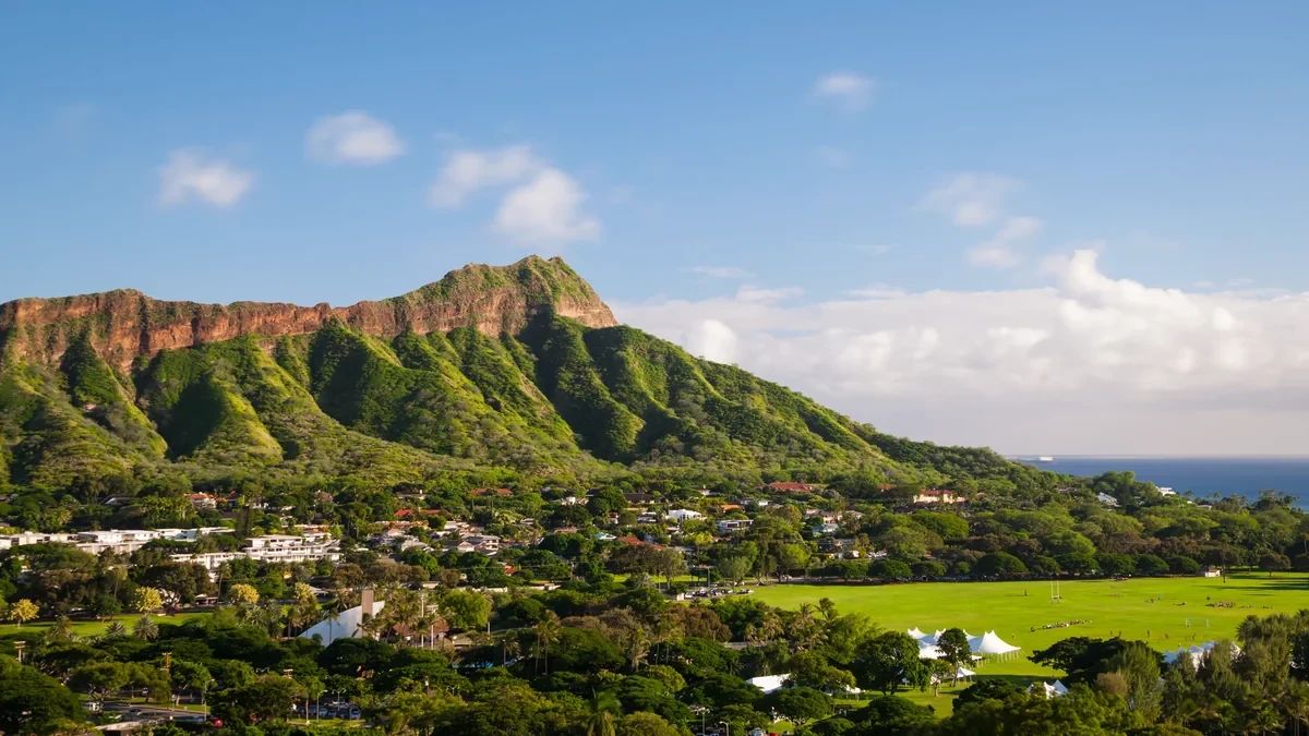 May 2022
Oʻahu
After a 2019 day with more than 6,000 visitors, DLNR introduced advance reservations for visitors from outside Hawaii.
7Kauaʻi
A daily target of 900 visitors grew from work with lineal descendants, Hui Makaʻāinana o Makana and the Hāʻena community. They helped design the limit.
8Oʻahu
HDOT documented barriers, shoreline certification and proposed improvements along this heavily used stretch of Kamehameha Highway.
9Kauaʻi
Kauaʻi County closes the access gate through winter when hazardous ocean conditions warrant it. The county notice, not an old itinerary, sets the access context.
10Maui
During a surf contest, the Hana Highway Regulation Committee counted more than 400 roadside cars by about 10:30 a.m. About 136 were logged for problematic parking.
11Click the top card to send it to the bottom.
The founding release is being prepared. Numbered memberships, the public count and the pricing ladder will open after the product and fulfillment checks are complete. There may be a second release. There may not.
The planned membership price stays locked while continuously active. Member numbers will never be reissued. Joining the newsletter is free and does not reserve a number.
The planned founding release will offer 250 shared active places. Membership pricing will stay locked while a membership remains continuously active. Join the newsletter for release news.
This is the planned founding offer. Memberships and passes are not on sale yet. The free app preview is open now.
Planned founding release · Not yet on sale
The Founding Release is full. 250 people, in order, from the first free member to the last at $199. A place opens only when a founding member leaves or a pass runs out, and it goes to the next person on the waitlist at the current price. Founding members hear about any next release first. The free score stays open.
Join the launch listYour number, never reissued. Member 37 is member 37 in the group, for as long as you keep it.
Your name on the Founding 250 page, if you want it there.
Your price, locked and capped. Every feature you have today at today's price, and your price never goes up.
First look. New places, layers and islands before anyone else.
First word on any next release, and help shape the future of the app.
Planned pass · Not yet on sale
The planned pass uses one of 250 shared active places for ten days from purchase. Sales are not open yet.
Get pass launch newsEverything a membership includes, for ten days
Before membership sales open, the founding-price ladder, shared capacity, payment fulfillment and final product checks will be verified. Joining the newsletter is free and does not reserve a numbered place.
Try it yourself. Your next outdoor day is the test: open the list, take the top of it, and see.
Planned annual prices: 50 steps, five founding activations per step. This table is a published plan, not a live availability counter.
The planned ladder ends at $199 per year. Availability and checkout will be connected after the founding model is verified.
250 members, then this closes. Or ten days for $49.99, for the week you are actually here.
Explore the free app preview and decide whether it helps you plan a better morning. Paid memberships will open after final product and fulfillment checks.
I built this for the mornings I got wrong. The day I hiked 3 hours to a "waterfall" that was dry. The reef I drove an hour to find brown. The ridge view that was in a cloud by the time I reached it.
None of that was bad luck. The information existed, scattered across nine tabs that did not know about each other.
That's why I built this. I built it for myself, and I can tell you it works. Now it is time to share it.
If Pali Fieldbook saves you one of those mornings this year, it has paid for itself. I hope you absolutely love it.
Dan